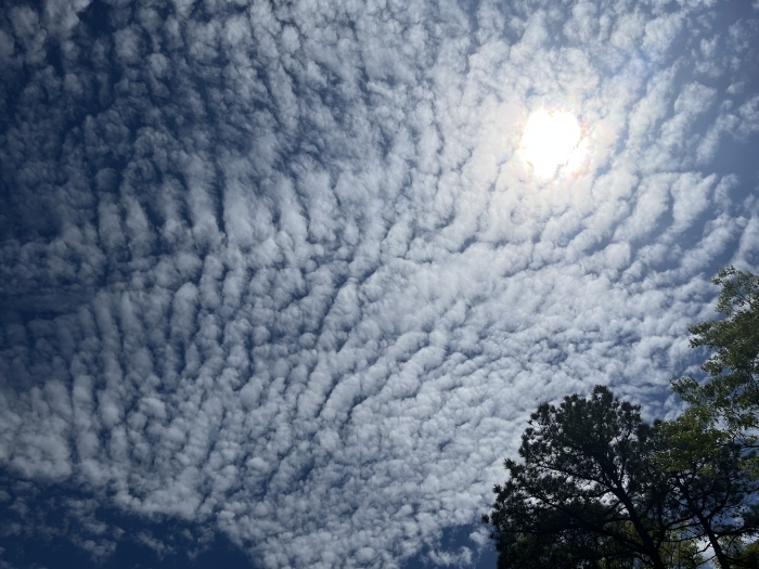
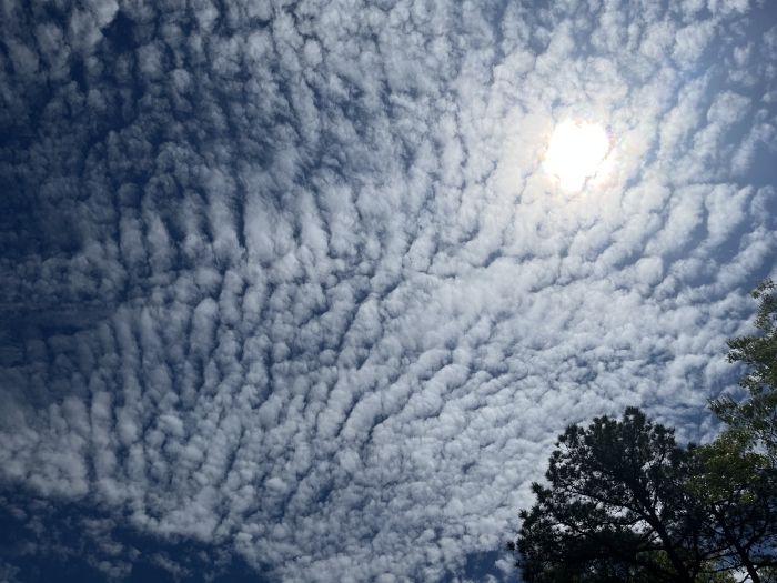
What do these clouds portend?


Here's what I found out about them:
These clouds are altocumulus clouds, characterized by their fluffy, patchy appearance and often aligned in a pattern like ripples or rows across the sky. They usually form at mid-level altitudes (about 6,500 to 20,000 feet).
What they may indicate:
-
Fair weather in the short term.
-
However, if they appear in the morning and begin to thicken or increase, they can precede a cold front or a developing storm, especially if followed by lower clouds later in the day.
-
Their presence in warm, humid conditions can sometimes signal the approach of thunderstorms, particularly in the summer.
Looks like there's some rain coming our way - not sure if you'll get much down by you.


The angels are doing laundry?? 😉
Morganna said:
I was hoping for a more metaphysical explanation.


Took these photos a couple of hours ago. Do they forecast a weather story?